
Big Data and AI for Civic Innovation
Measure Usage and Economic Impact for Smarter, Sustainable, and Resilient Cities.
Get a Free Consultation9218
Global Cities
3120
US Counties
161
Countries
17.1 Billion
Data Points per Day

Validated and Trusted by Customers Worldwide
View All




















































Solutions
Each solution is a portfolio of CityData products, assembled for the way your agency works.
Parks, Trails, & Natural Resources
Quantify visitation, movement, and dwell time across every park, trail, and open space in your system. Make data-driven decisions for budgets, maintenance, and grant applications.
Recreation Systems Management
Run recreation centers, facilities, and programs on usage data instead of guesswork. Balance staffing, hours, and investment against measured community demand.
Local Economic Development
Track footfalls, visitation trends, and spending patterns across downtowns, business districts, and commercial zones. Ground your economic development strategy in real-world activity.
Programs, Events and Festivals
Measure attendance, visitor origins, and economic impact for every event, festival, and program. Prove value to sponsors and plan next season with real numbers.
Ground Truth Measurements
Validate every model with real-world counts from solar-powered optical sensors and field surveys. Trustworthy data starts with measured truth on the ground.
Field Operations Management
Coordinate tasks, fleets, assets, and field crews with geospatial AI workflows. Give every field worker the right job at the right place at the right time.
Mobility and Transportation
See how people actually move through your city by car, bike, bus, train, or on foot. Pinpoint congestion, understand origin-destination flows, and plan smarter corridors.
Scenario Planning and Analysis
Simulate interventions in a digital twin before committing budgets. Forecast the impact of road changes, new developments, and policy decisions with multimodal network models.
Urban Air Mobility for LAE
Plan for the low-altitude economy — eVTOLs, air taxis, and delivery drones — with agent-based simulation of ground demand and air traffic. Identify optimal vertiport locations and model the impact of new aerial mobility across your city.
Community Engagement
Reach residents with critical alerts and local information, and hear back from them through agentic AI chat. Engagement that works the way your community already communicates.
Crowd Management
Anticipate and manage crowds at events, transit hubs, and public spaces with real-time counts and predictive flow models. Keep people safe and moving with measured density, movement, and capacity data.
Disaster Resiliency
Prepare for and respond to floods, fires, and extreme weather with movement models, evacuation simulations, and economic impact analysis. Build a community that protects its people and recovers faster when disruption hits.
Municipal Ridesharing
Launch and operate community ridesharing and on-demand transit informed by real mobility patterns and event demand. Connect residents to where they need to go while closing gaps in your transportation network.
Products
A comprehensive portfolio of AI products for smarter, sustainable, and resilient communities.
CityParks
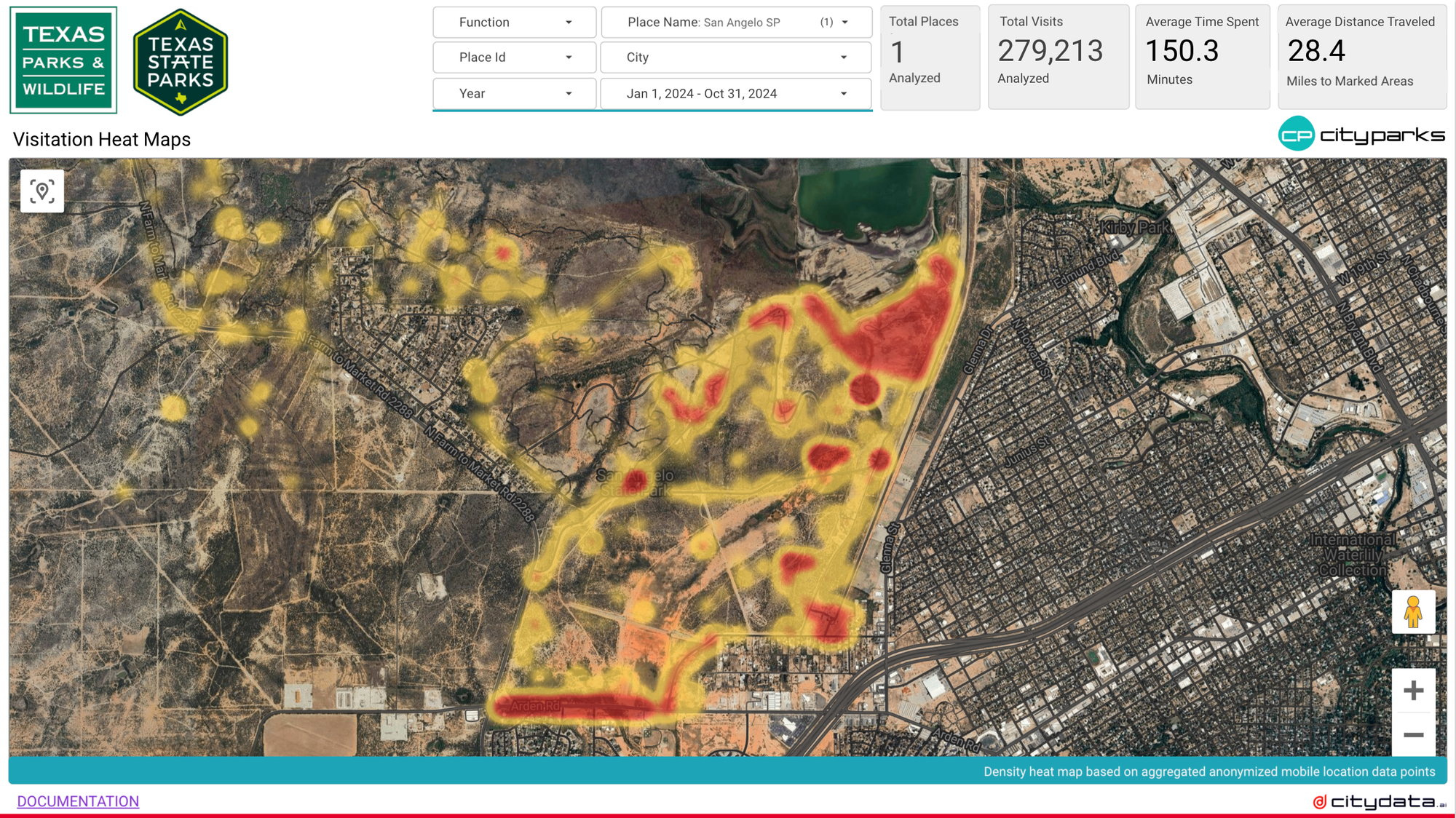
Parks, Trails, & Natural ResourcesAccurately quantify usage for your parks, trails, facilities, and natural resources, to make data-driven decisions for budget allocation.
Learn More

CityBase
Recreation Systems ManagementReserve, register, and book recreation programs, events, passes, campsites, picnic shelters, cabins, golf tee times, marina boat slips, with real-time availability and contactless checkout.
Learn MoreCityEconomy
Local Economic DevelopmentBoost downtowns areas, business zones, and commercial districts with policies based on real-world footfalls and economic activity measurement.
Learn More

CityEvents
Programs, Events and FestivalsKnow the attendance count, visitor origins, demographics, for local events, festivals, concerts, sports venues, and conventions centers.
Learn MoreCitySensor
Ground Truth MeasurementsCount people, vehicles, and animals with precision using our ruggedized outdoor solar-powered 4G IoT privacy-compliant optical sensors.
Learn More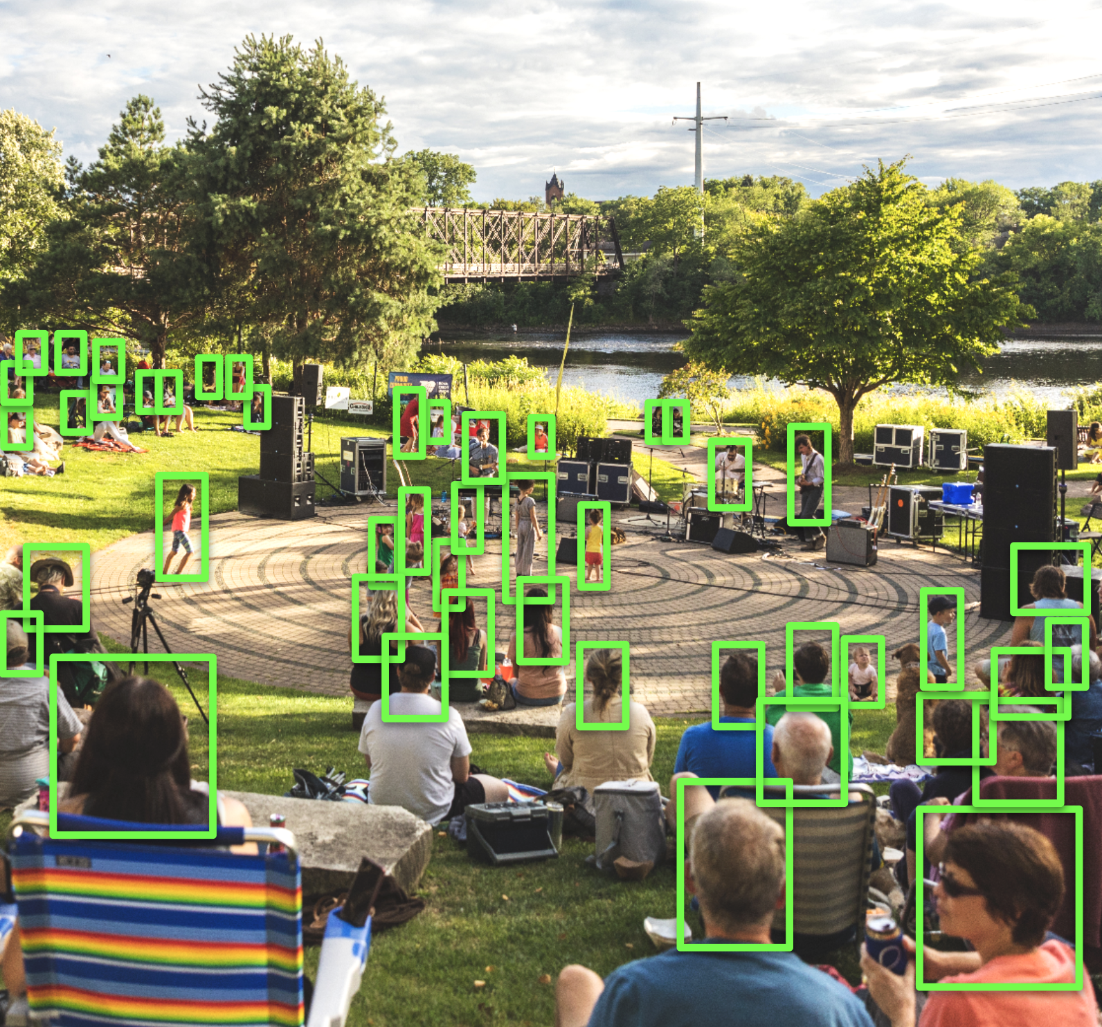

CitySurvey
Ground Truth MeasurementsCapture the ground truth data in real time by setting up surveying apps on any mobile device in parks, trails, events, downtowns, & intersections.
Learn MoreCityOps
Field Operations ManagementOptimize operations, manage tasks, fleets, assets, and field workforce with advanced geospatial AI workflows and agentic systems.
Learn More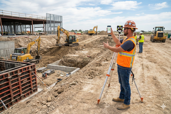

CityFlow
Mobility and TransportationSee exactly how the people move through your city by cars, bikes, buses, trains, or on foot, to pinpoint exactly where congestion starts.
Learn MoreCitySim
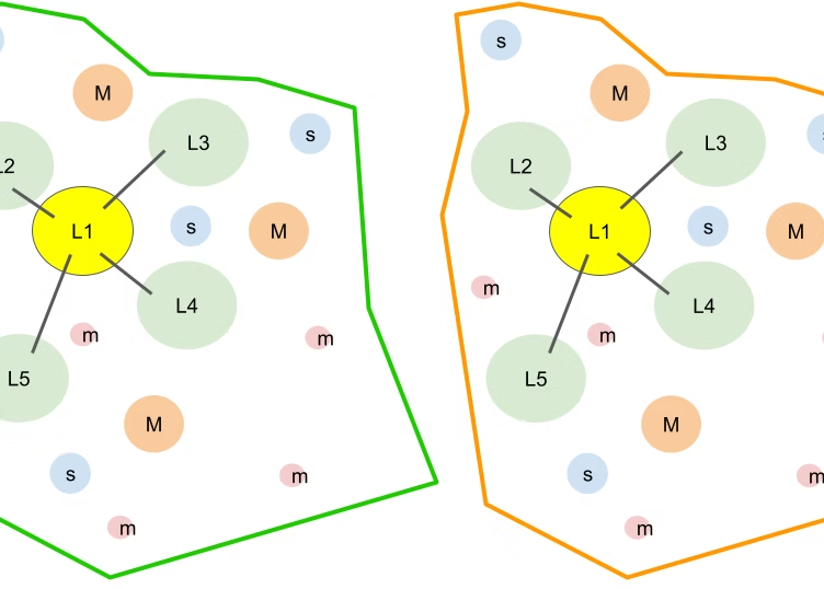
Scenario Planning and AnalysisSimulate the flow in multimodal networks to create digital twins for intervention analyses, impact forecast, and investment decisions.
Learn More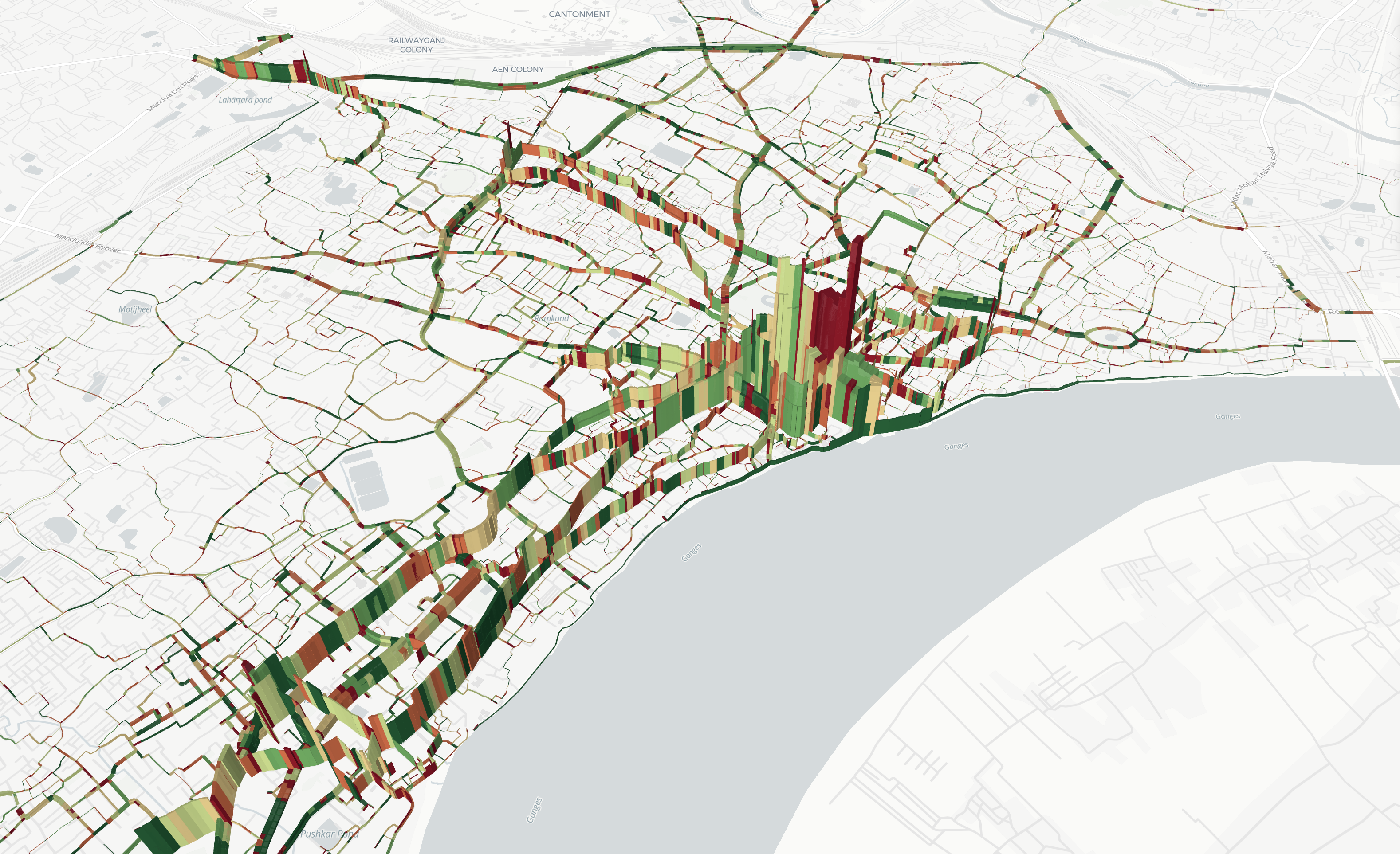
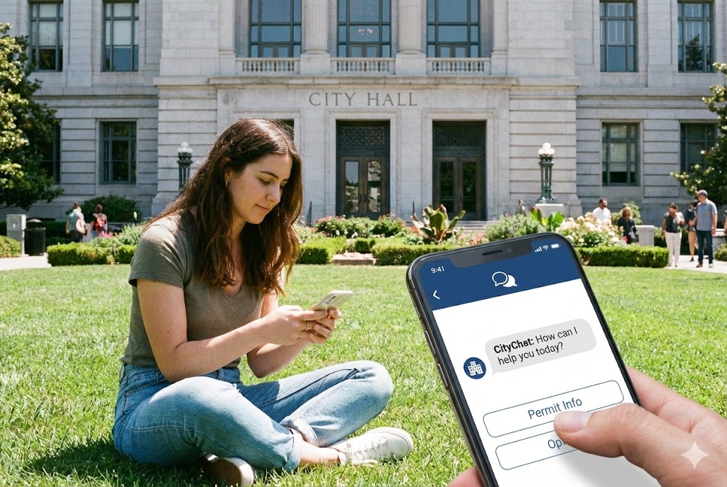
CityChat
Community EngagementEngage your community by sharing critical alerts, local information, and collecting feedback using agentic AI chatbot apps.
Learn MoreCityAir
Urban Air Mobility for LAEGrow urban air mobility service with vertiport analysis, air-taxi demand estimation, fleet sizing, and revenue projections for eVTOL manufacturers and operators.
Learn More
What makes CityData different?
1
100% Public Sector Focus
Purpose-built for cities, counties, states, and public agencies — never for advertising.
2
Largest Mobility Dataset
17.1 billion data points per day across 9,218 cities in 161 countries.
3
Global Privacy Compliance
Anonymized, obfuscated, and aggregated by design — compliant with CCPA, GDPR, and global regulations.
4
Flexible Visualization Options
Dashboards, downloadable data, APIs, and cloud datastores that fit your workflow.
5
Ground Truth Validation
AI inferences validated against real-world sensor counts and field surveys.
6
Innovative AI Models
Gravity models, digital twins, and agentic AI purpose-built for civic questions.
AI Insights for Civic Innovation
Stay ahead of the curve with our latest blog posts

Let’s Talk
Schedule a Free Consultation
Harness the power of big data and AI for civic planning and operations