
CitySurvey
A free, privacy-compliant mobile app that turns any phone into a computer-vision counting tool — count people, pets, bicycles, and vehicles in real time at parks, trails, events, downtowns, and intersections.
- From $199/month
- Unlimited users
- Available through NASPO
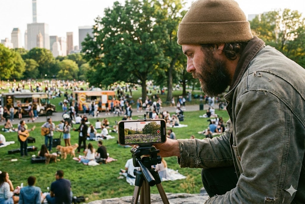
How agencies put CitySurvey to work
From trailheads to downtowns, CitySurvey turns any phone into an accurate, real-time counting tool your field staff can use anywhere.
Park & Trail Field Surveys
Hand staff a phone and count visitors at any trailhead, park, or open space — no clickers, no clipboards, no expensive hardware to install.
Event & Festival Crowd Counts
Capture real attendance at concerts, festivals, races, and gatherings with automated computer-vision counts you can defend to sponsors and council.
Downtown & District Footfall
Measure pedestrian activity across downtowns, shopping centers, and business districts to support economic development and placemaking.
Intersection & Multimodal Counts
Count people, bicycles, cars, buses, and trucks at intersections and along corridors for safety, mobility, and complete-streets work.
Ground-Truth Data Collection
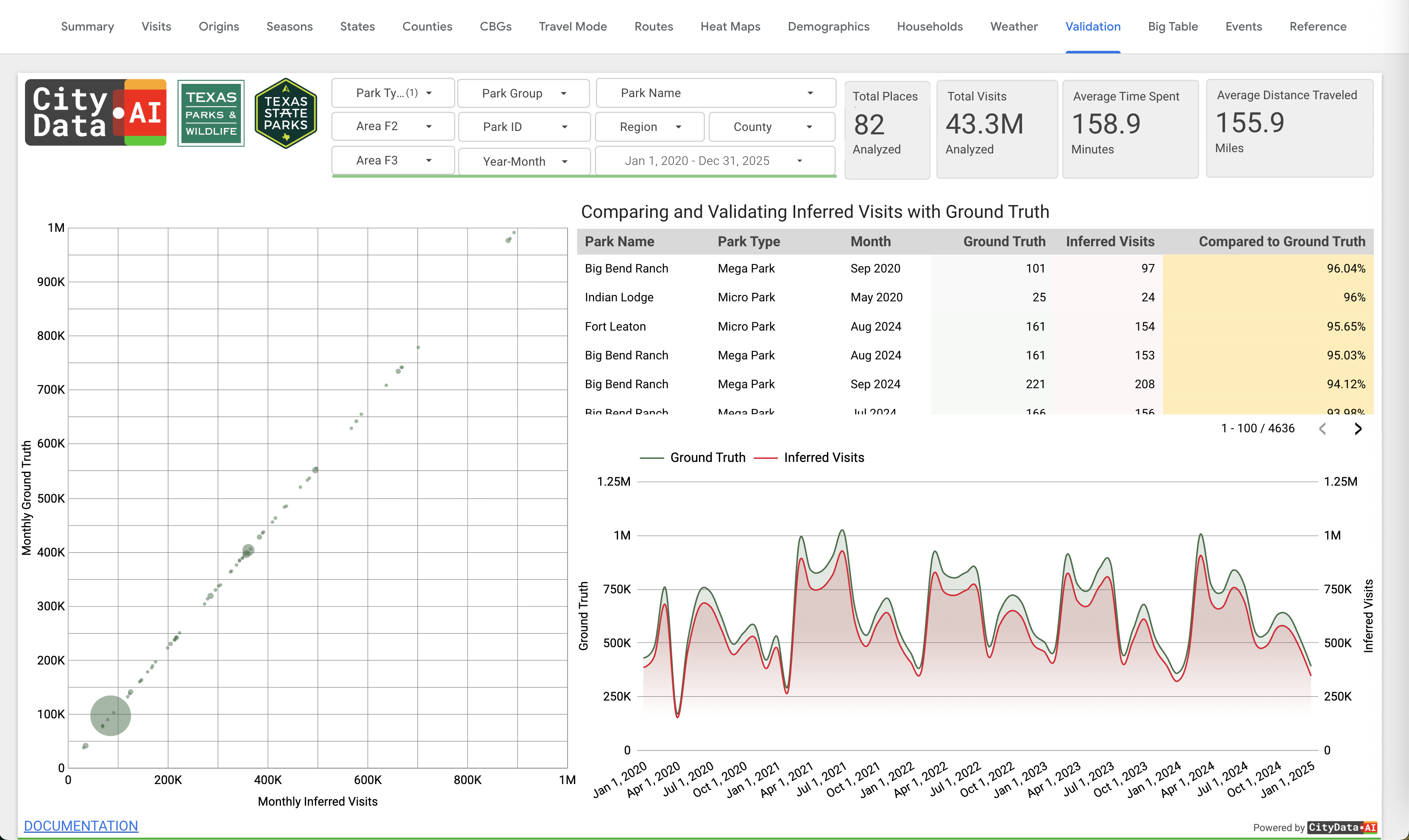
Gather field counts that calibrate and validate CityData's mobility big-data models in CityParks, CityEvents, CityEconomy, and CityFlow.
Rapid Pilots & Spot Studies
Because it's free and needs no hardware, CitySurvey is the fastest way to run a short study, test a location, or prove value before scaling.
The many ways CitySurvey empowers your agency
An impressive collection of features and capabilities that make CitySurvey the fastest, most accessible way to collect accurate ground-truth counts.
Free Mobile App
Download CitySurvey free from the Google Play Store or Apple App Store and turn any staff phone into an automated counting tool in minutes.
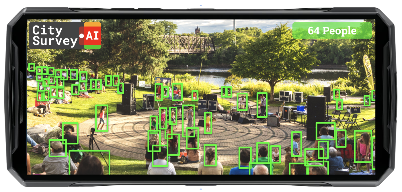
Computer-Vision Counting AI
Automated, real-time counting powered by computer-vision AI — accurate counts from your phone's camera with no manual tallying.
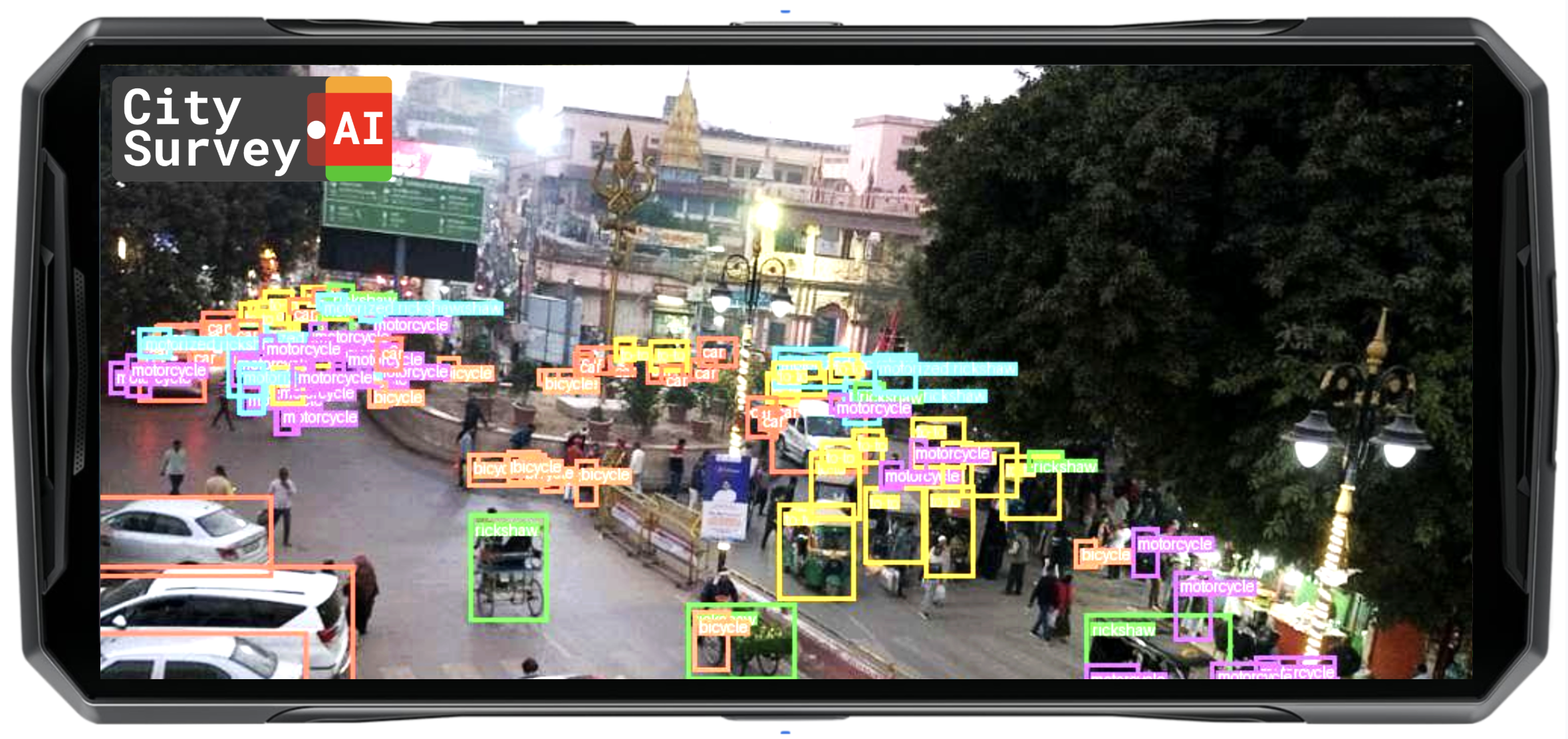
Multi-Object Tracking
Counts and classifies people, pets, bicycles, cars, motorbikes, buses, trucks, and trains — every mode, from a single phone.
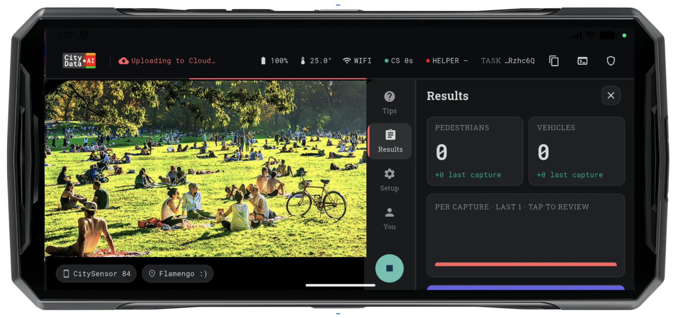
Real-Time On-Screen Counts
Watch pedestrian and vehicle counts tick up live on screen as the survey runs, so field staff see results the moment they happen.
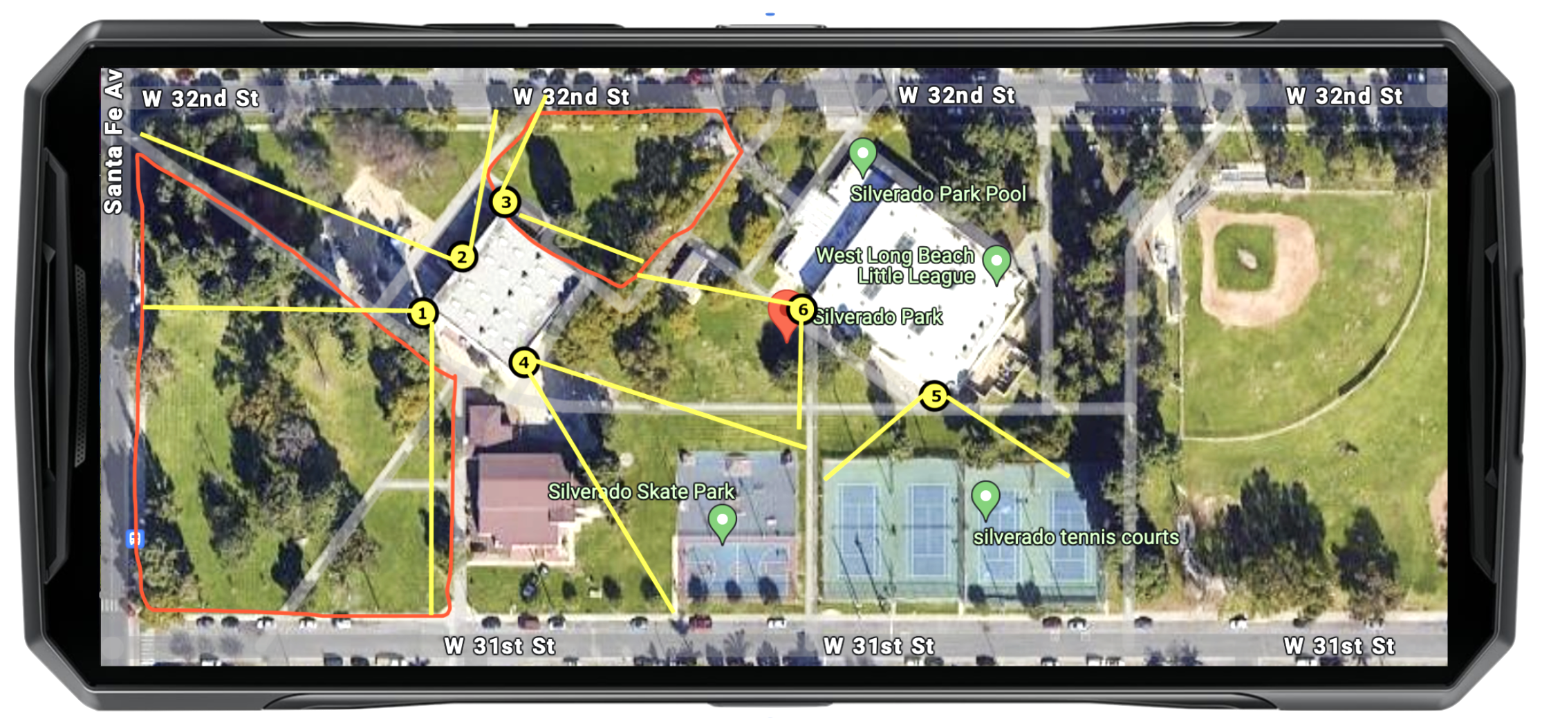
Custom Geofences & Places
Define the place or draw a geofence for each survey, so every count is tied to a precise location you can report and compare.
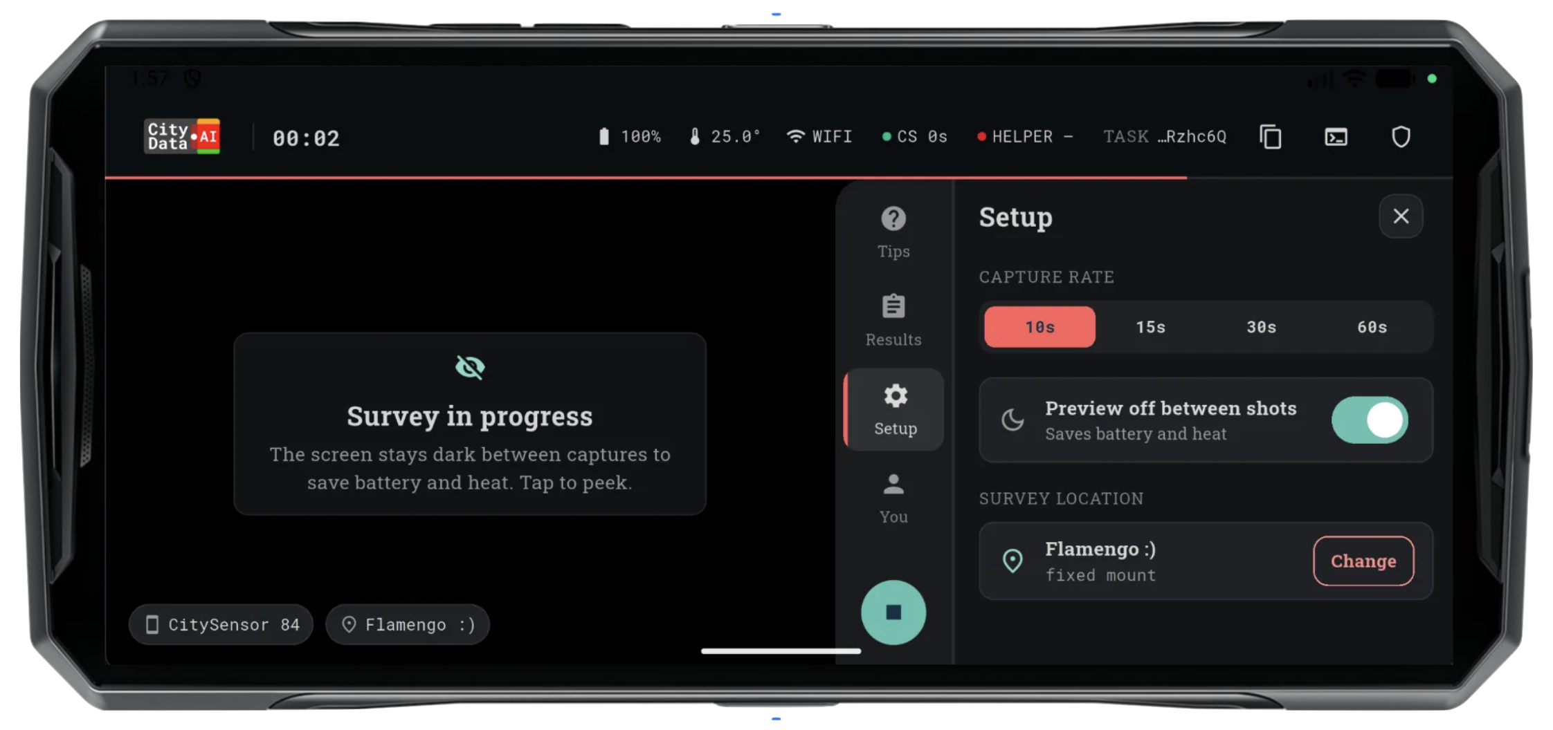
Configurable Survey Frequency
Set the capture interval from 10 to 60 seconds to balance detail against battery life for the study you're running.
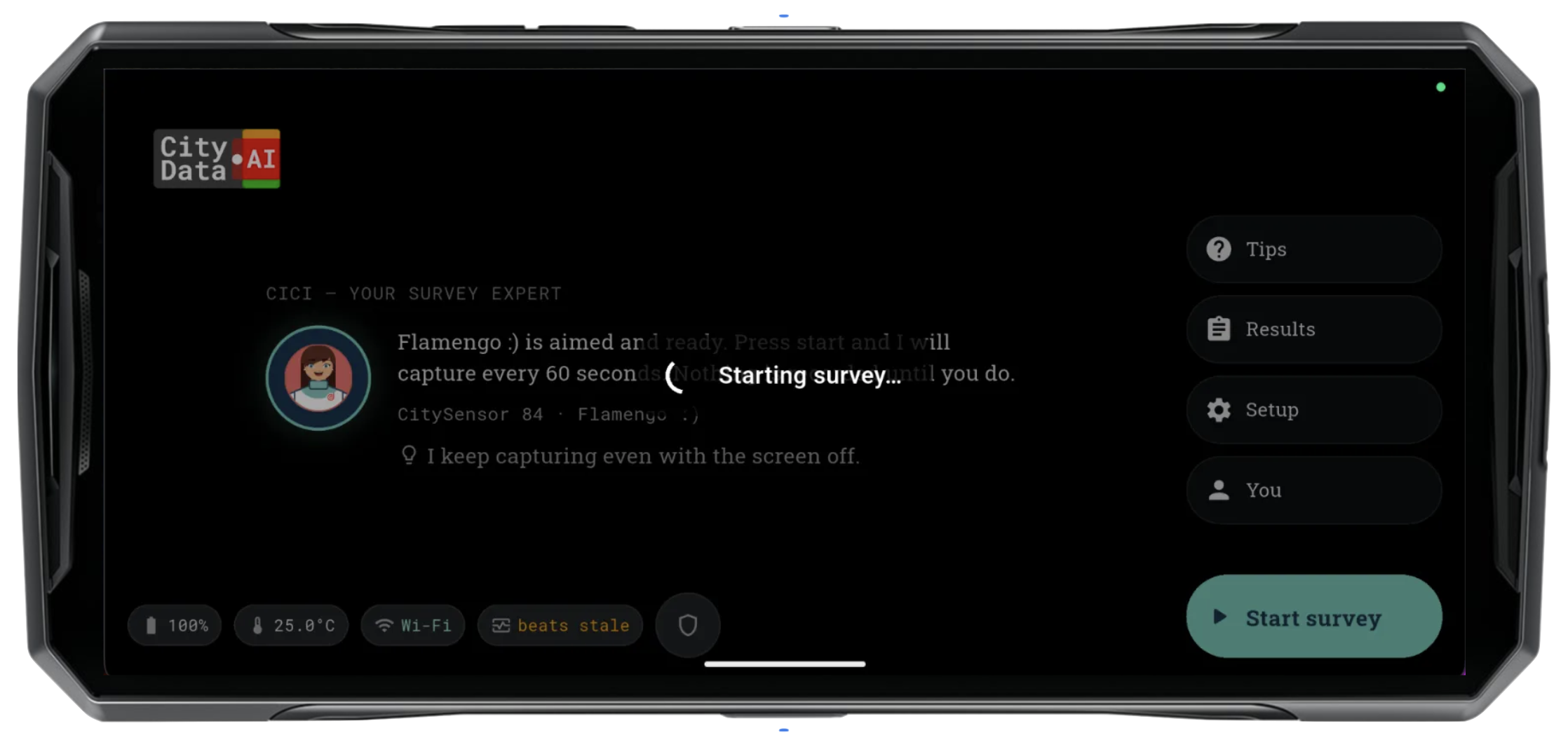
Battery-Saving Survey Mode
Surveys run on a dark screen with preview off between shots, so a single phone can count all day without draining the battery.
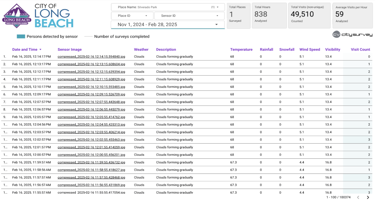
Automatic Cloud Upload
Counts and snapshots upload automatically to Google Cloud as the survey runs — no exports, no cables, no manual data entry.
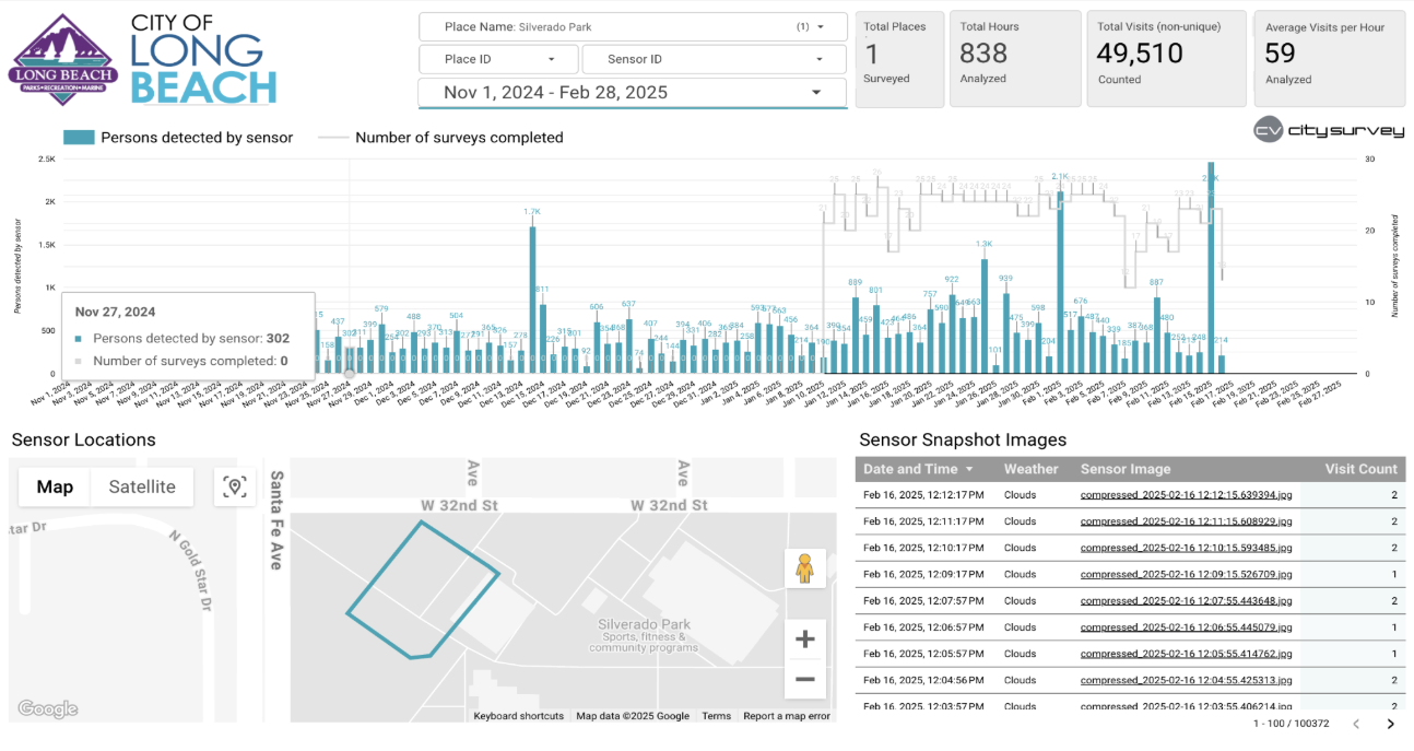
Real-Time Data Dashboard
An online dashboard shows minute-by-minute, hourly, and daily counts, multi-month trends, summary metrics, and captured snapshots.
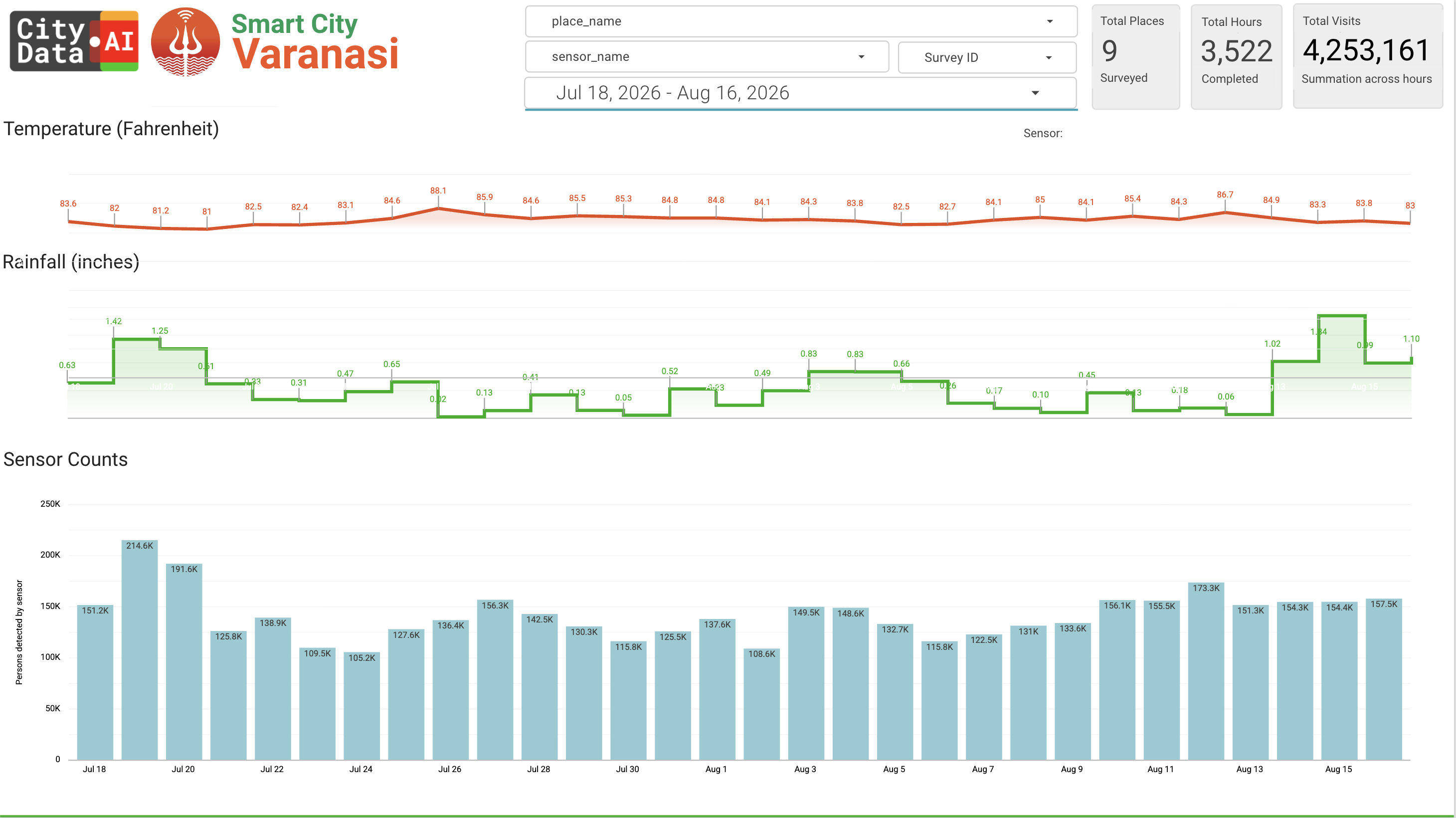
Weather Tracking & Correlations
Every survey logs temperature, rainfall, snowfall, humidity, wind, and visibility, so counts come with the weather context behind them.
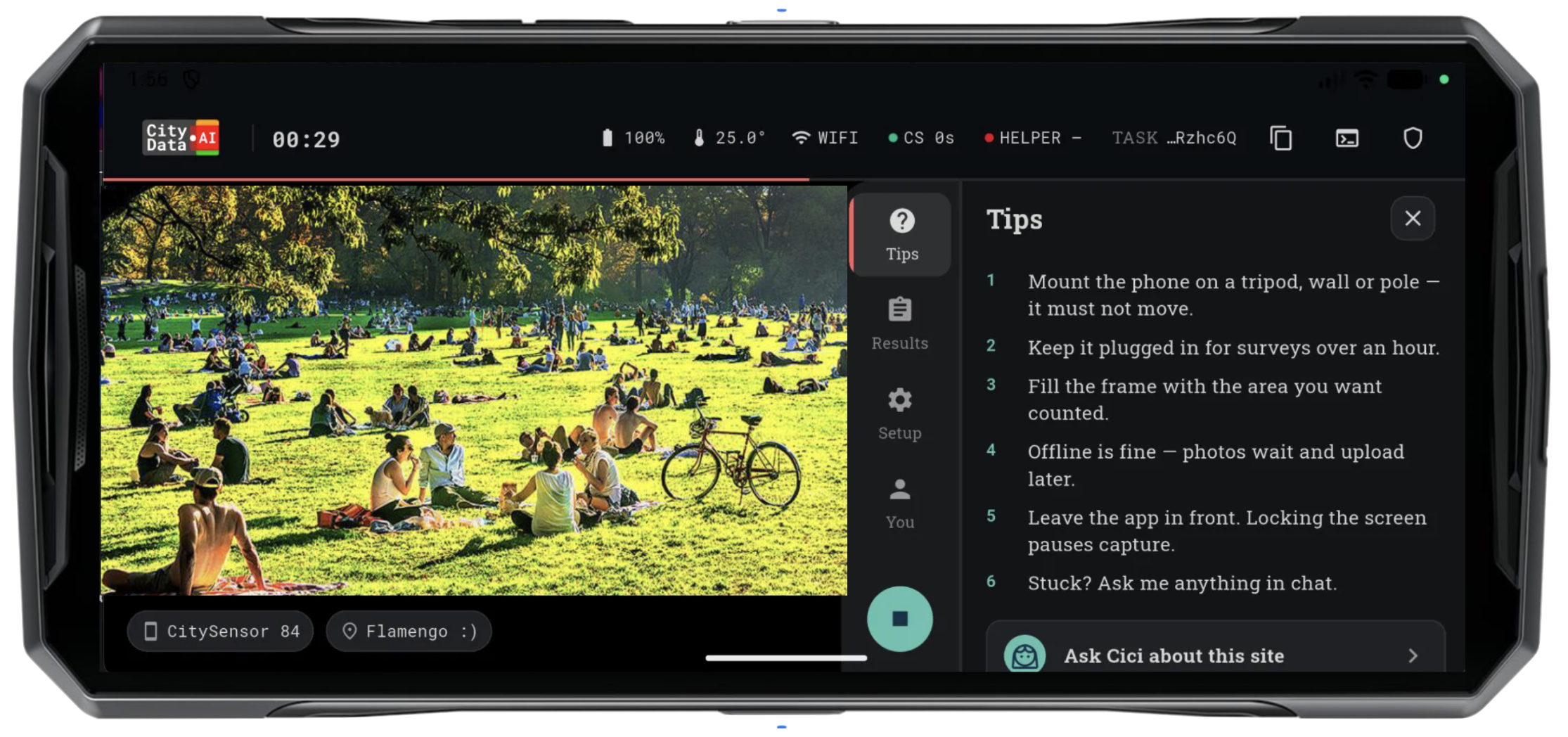
In-App Guidance & Support Chatbot
Step-by-step instructions, survey tips, and a support chatbot are built right into the app, so new field staff are productive on day one.
Ground-Truth Calibration
Survey counts become the ground truth that calibrates and validates CityData's crowdsourced models — accuracy that compounds across your system.
Everything included
Everything you get with the free CitySurvey app.
- Free to download and free to use
- Works on Android and iOS phones
- No hardware or installation required
- Turn any staff phone into a survey tool
- Counts people, pets, bicycles, and vehicles
- Counting only — no facial recognition, ever.
- In-app instructions, tips, and support chatbot
- Automatic upload to Google Cloud
- Real-time dashboard access in any browser
- First 5 surveys free on every account
- Integrates with every CityData product
- Dedicated Customer Success Manager and Account Manager
Works better together
CitySurvey is part of the Parks, Trails, & Natural Resources solution. Pair it with these products:
CityParks
Accurately quantify usage for your parks, trails, facilities, and natural resources, to make data-driven decisions for budget allocation.
Learn more →CitySensor
Count people, vehicles, and animals with precision using our ruggedized outdoor solar-powered 4G IoT privacy-compliant optical sensors.
Learn more →CityBase
Reserve, register, and book recreation programs, events, passes, campsites, picnic shelters, cabins, golf tee times, marina boat slips, with real-time availability and contactless checkout.
Learn more →CityOps
Optimize operations, manage tasks, fleets, assets, and field workforce with advanced geospatial AI workflows and agentic systems.
Learn more →Free to download, free to use
the app is Free
The CitySurvey app is free to download and free to use — install it on any phone and conduct surveys over your cellular 4G/5G data or WiFi. No contracts, no hardware.
Onboarding & Setup
Account provisioning and dashboard setup — waived when CitySurvey is used together with other CityData products.
Cloud Storage & AI Compute
For more than 5 surveys, a plan adds unlimited data storage, unlimited AI inferences, and always-on access to your dashboard.
Additional costs to plan for — scoped with you before you sign.
Contact Us for a Demo