
CityFlow
Multimodal mobility intelligence across road and transit networks — origin-destination trips, route trajectories, speeds, distances, travel times, and travel modes (driving, walking, cycling, and public transit) for transportation departments, mobility firms, transit and highway operators, and consulting teams.
- From $199/month
- Unlimited users
- Available through NASPO

How mobility teams put CityFlow to work
From planning to operations, transportation agencies, transit and highway operators, and consultants turn multimodal mobility intelligence into data-driven decisions.
Transportation Planning
Prioritize projects with real origin-destination demand, mode split, and corridor-level volumes instead of sparse, costly manual counts.
Congestion & Operations
Pinpoint where and when congestion starts using segment-level speeds and travel times, and measure the impact of signal, lane, and transit changes.
Transit Planning & Ridership
Plan routes, frequencies, and first- and last-mile access with real multimodal demand and ridership across your transit network.
Corridor & Highway Studies
Study specific corridors and highways — before-and-after, diversions, and OD patterns — for widening, tolling, and safety projects.
Grant Applications & Funding
Win federal and state funding with defensible, calibrated volumes, mode share, and travel-time evidence that reviewers trust.
Consulting & Modeling Inputs
Feed calibrated OD matrices, trajectories, and scale-up ratios straight into travel-demand models and agent-based simulators.
The many ways CityFlow powers your network
An impressive collection of features and capabilities that transportation departments, transit and highway operators, and mobility consultants use every day.
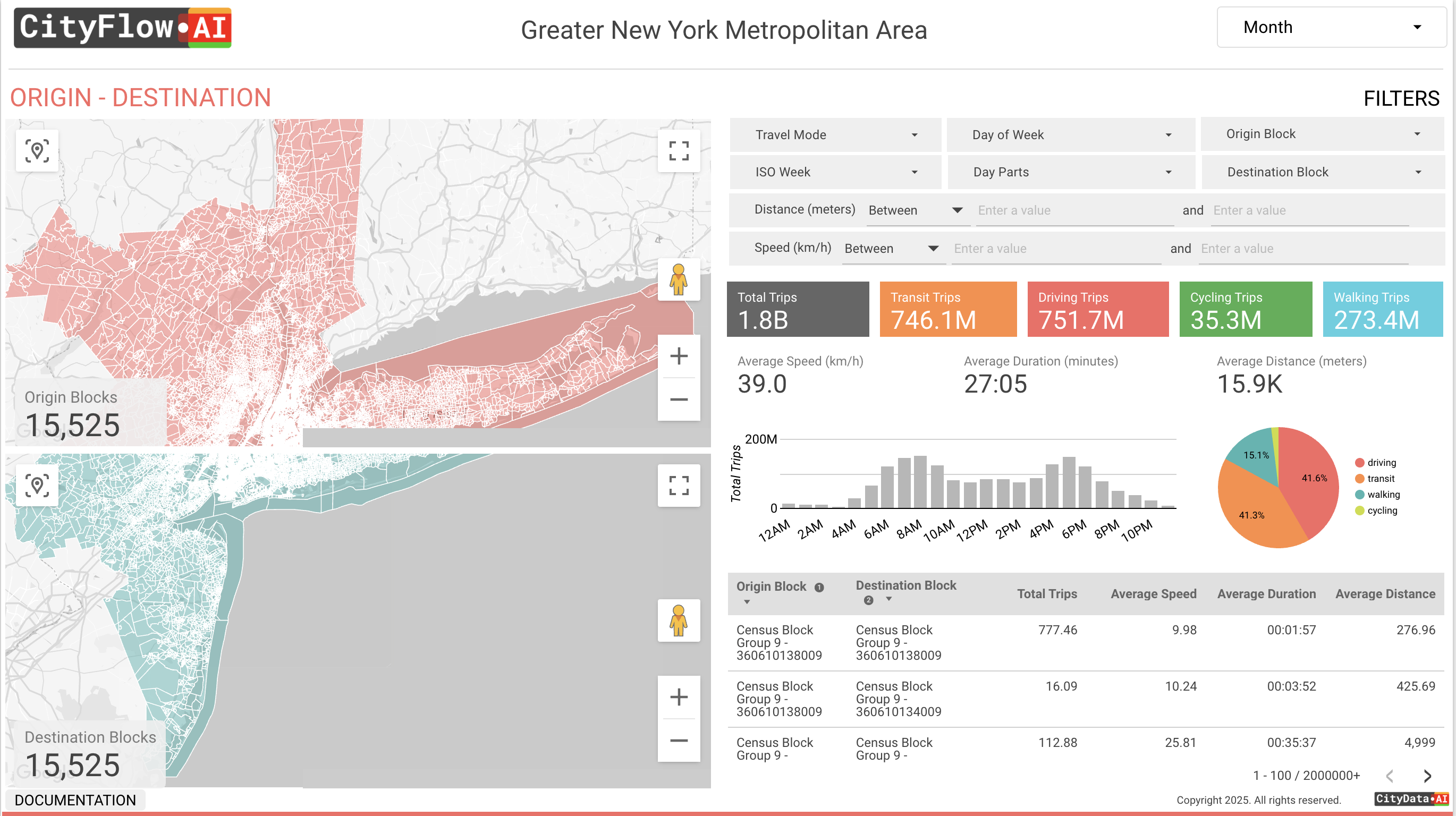
Origin–Destination Matrices
Trip flows between any zones you define — traffic analysis zones, districts, corridors, or custom shapes — showing where trips start, end, and concentrate across your network.
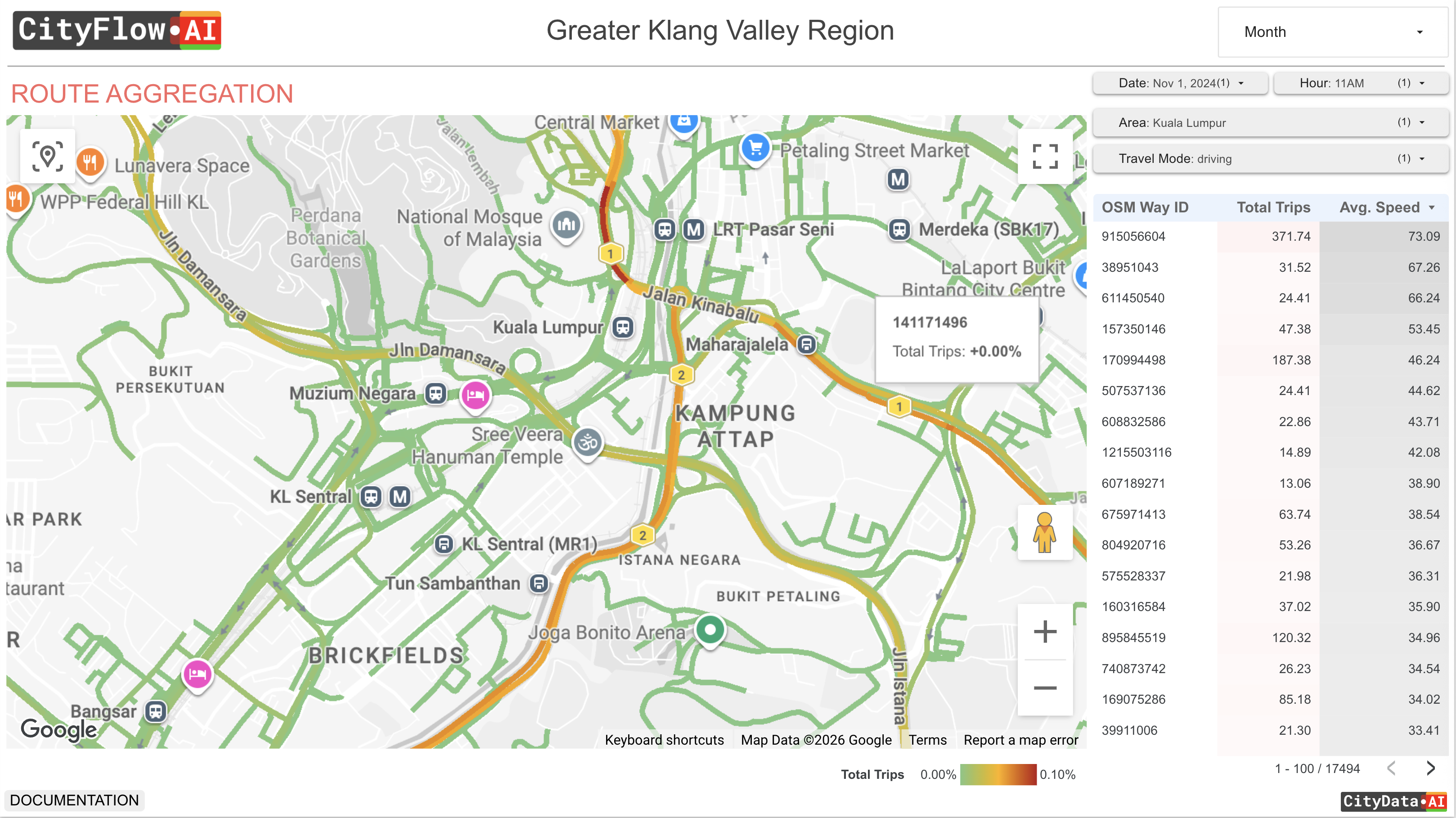
Route Trajectories
The actual paths trips take across the road and transit network, segment by segment, revealing real routing, diversions, and pinch points — built natively on OpenStreetMap way IDs.
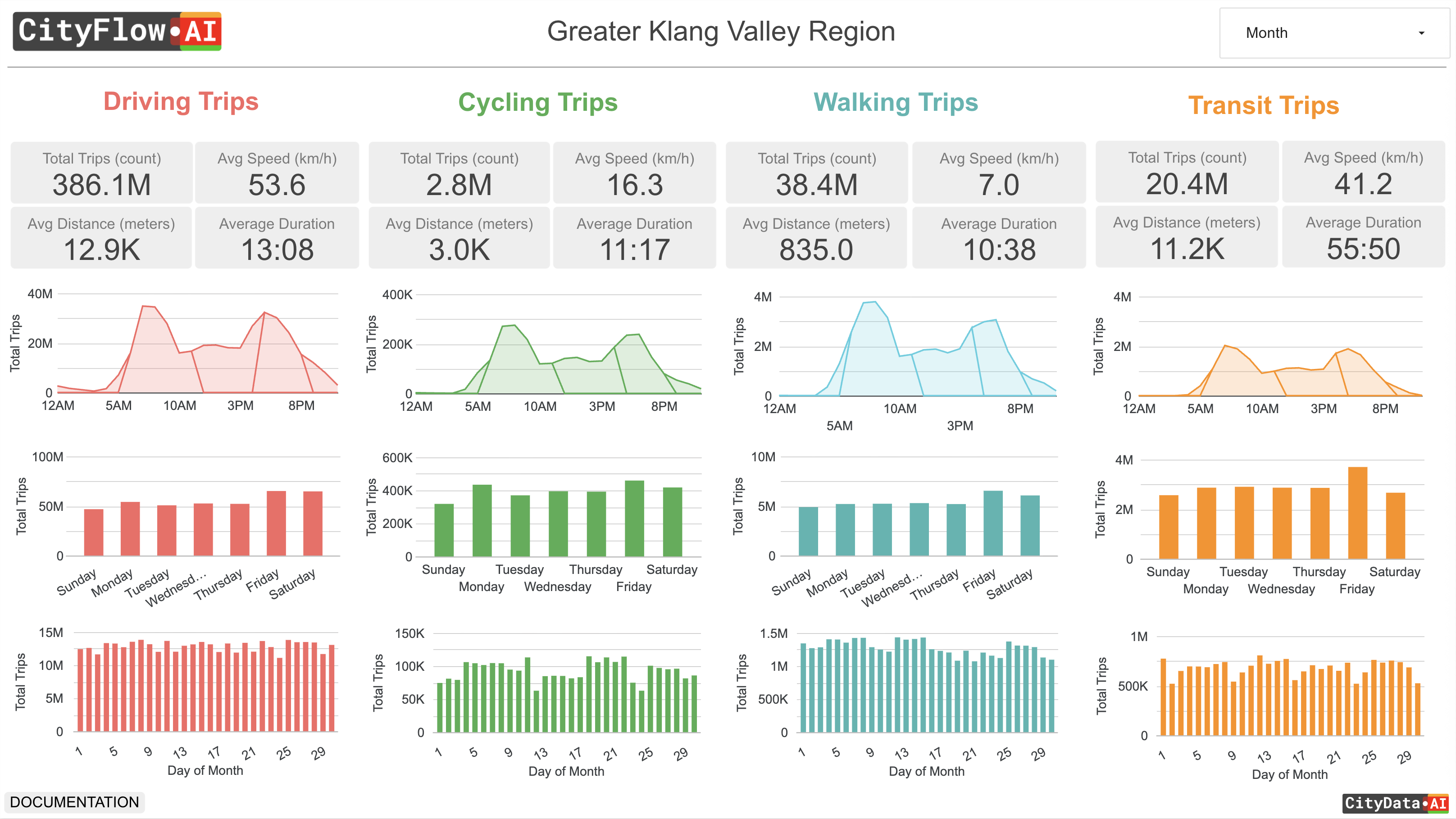
Multimodal Mode Split
Every trip classified by mode — driving, walking, cycling, and public transit (bus, train, metro) — so you can measure mode share and target investments where they matter.
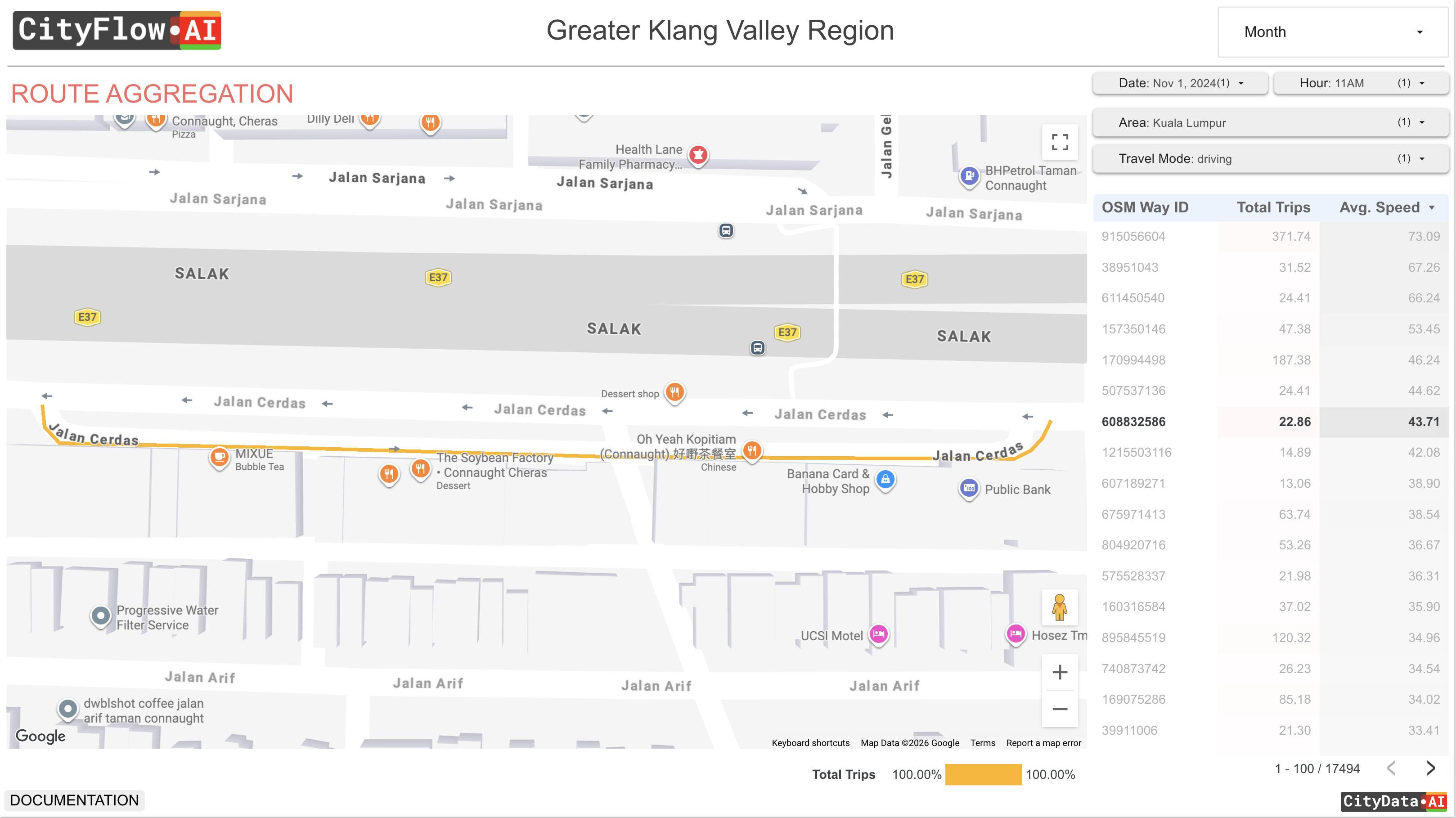
Segment-Level Traffic Metrics
Volumes, speeds, travel times, and delay at the individual road-segment level, with full coverage of arterials, collectors, and local roads often missing from traditional traffic datasets.
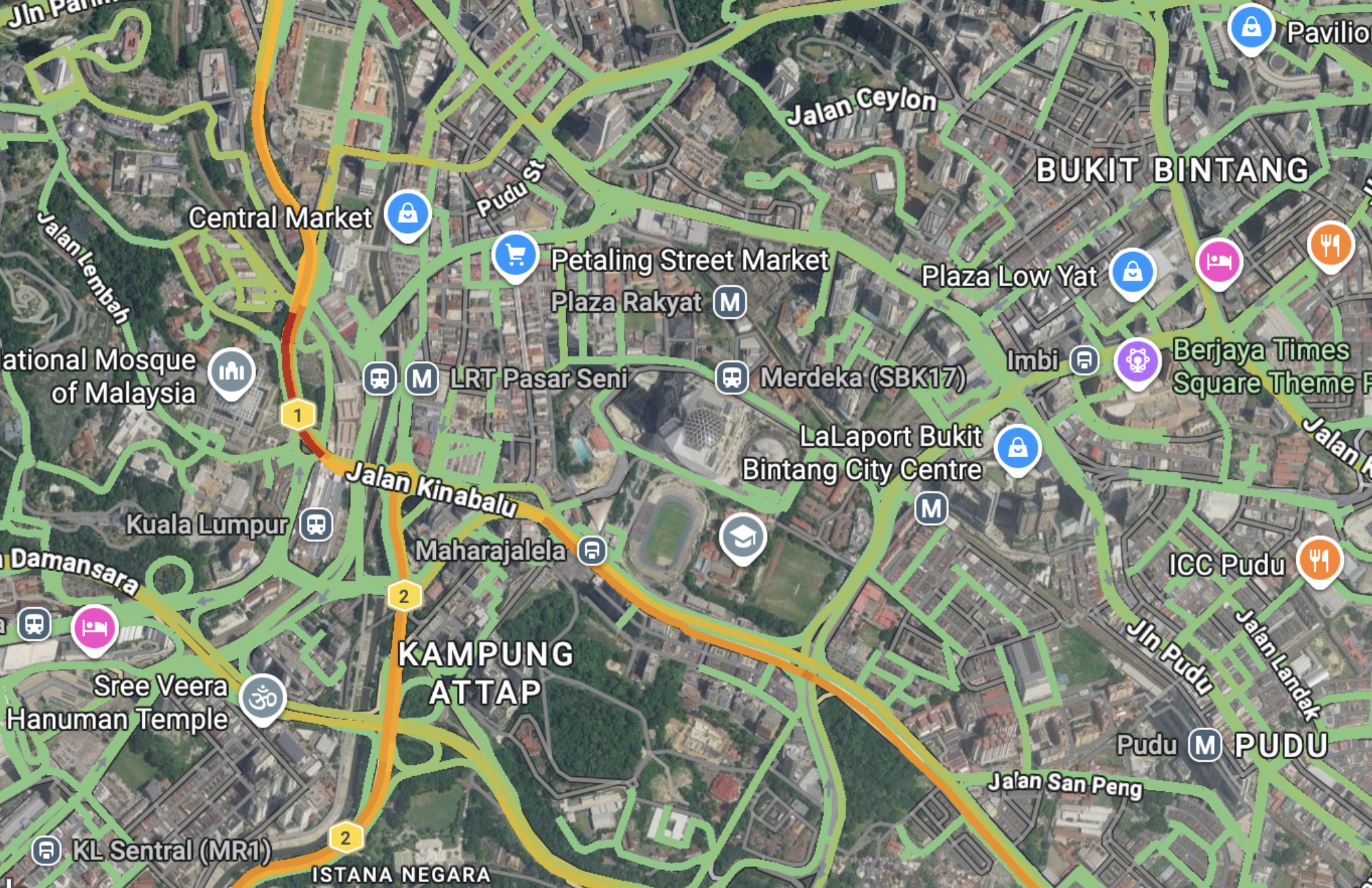
Speeds, Travel Times & Congestion
Average speeds, travel times, and delay by time of day and day of week, revealing exactly where and when the network slows down.
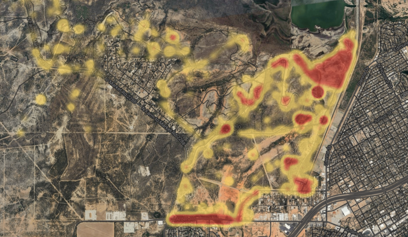
Sample-to-Population Scale-Up
Our AI expansion model scales the mobility sample up to true population volumes using dynamic, ground-truth-calibrated multipliers — so your counts reflect reality, not just the sample.
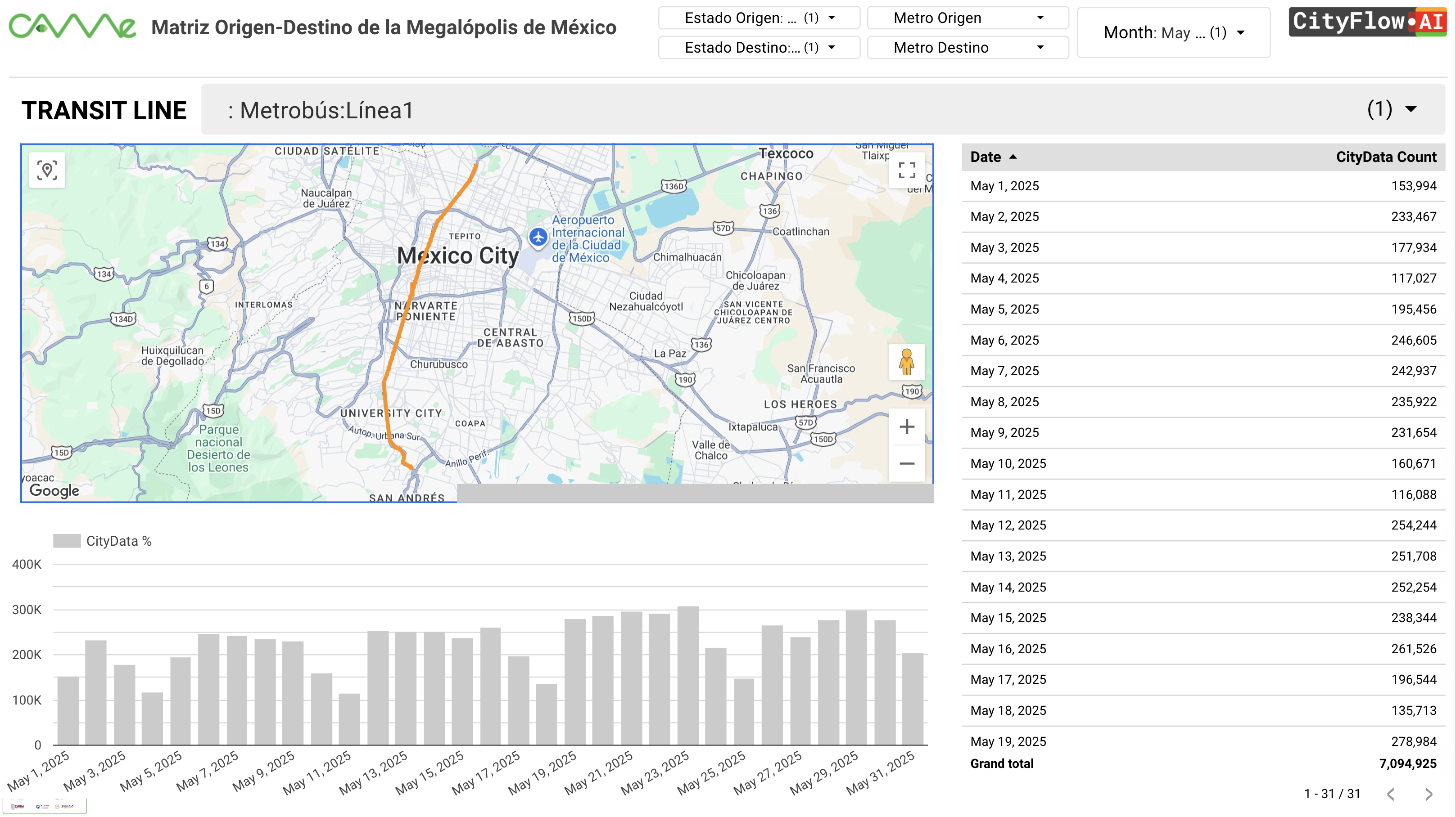
Transit Network Analysis
Movement and demand across bus, train, and metro networks, blended with your GTFS feeds to understand ridership, transfers, and first- and last-mile access.
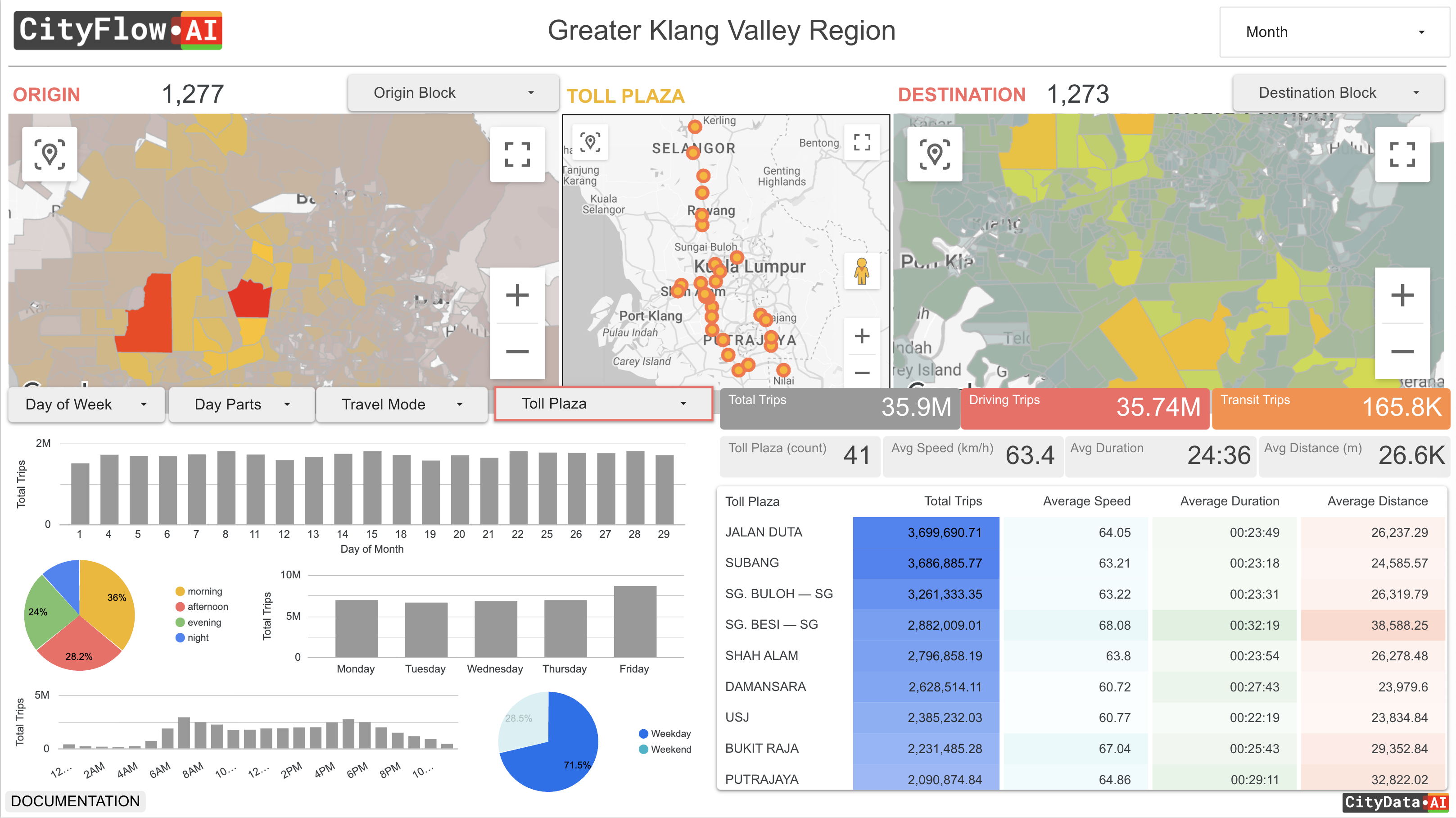
Trip Distances & Lengths
Trip-length distributions and distance bands that separate short local trips from long regional movement across your service area.
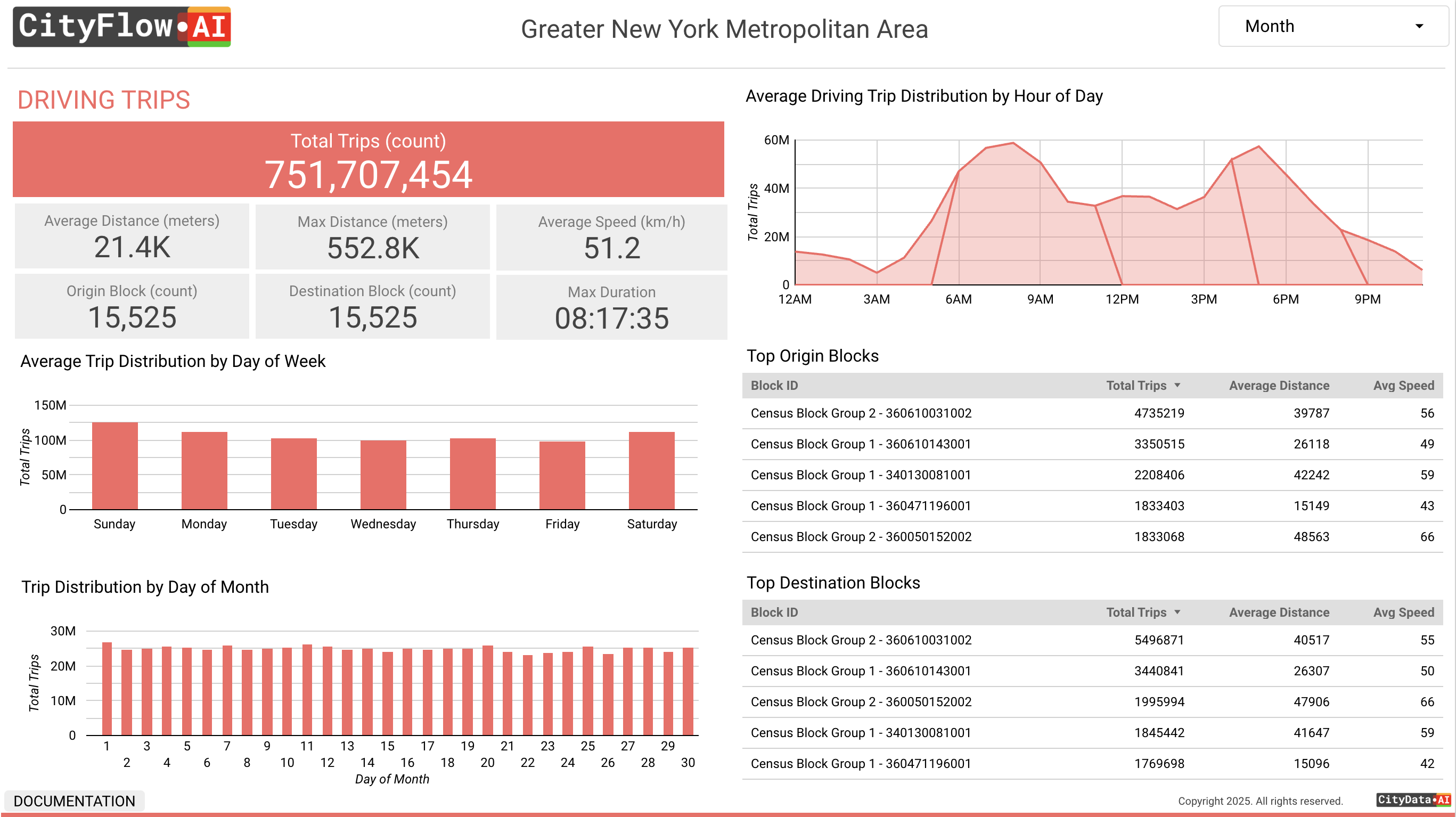
Time Granularity & Trends
Hourly, day-part, daily, weekly, monthly, and annual views — from peak-hour congestion down to multi-year longitudinal trends.
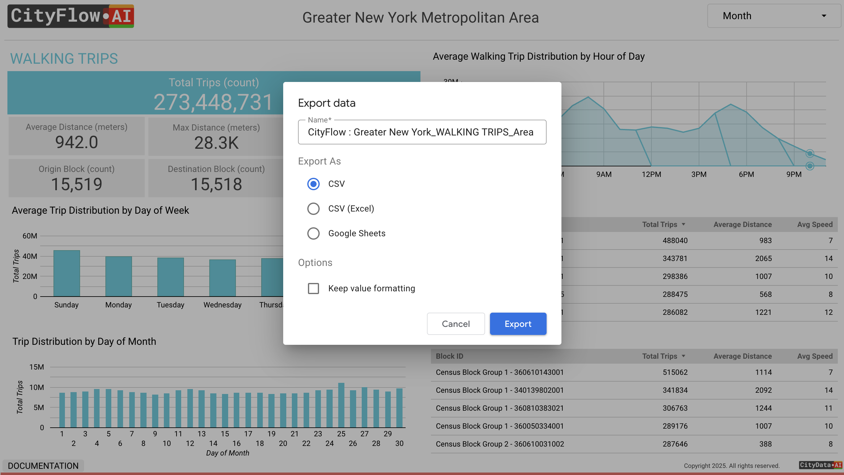
Exports, API & Data Dictionary
Download every dataset (CSV, GeoJSON, KML, Shapefile), query the cloud warehouse directly via SQL and API, and reference a full data dictionary for OD movement, trajectories, volumes, and place visits.
Everything included
The full CityFlow feature list, standard with every subscription.
- Privacy-compliant, anonymized, and aggregated mobility data
- Full dashboard that works on desktop and mobile
- Unlimited users within your organization at no extra cost
- Dashboard link and branding customized with your agency name and logo
- Nationwide coverage across all FHWA functional road classifications
- Built natively on OpenStreetMap way IDs — compatible with your GIS shapefiles
- Ground-truth calibration against traffic counters, toll, and census data
- Unlimited downloadable reports and Excel or CSV data files
- Spatial exports in GeoJSON, KML, and Shapefile, plus direct BigQuery/SQL access
- Internal version for your team and an external version for the public
- Dedicated Customer Success Manager and Account Manager
Works better together
CityFlow is part of the Mobility and Transportation solution. Pair it with these products:
CityEconomy
Boost downtowns areas, business zones, and commercial districts with policies based on real-world footfalls and economic activity measurement.
Learn more →CitySensor
Count people, vehicles, and animals with precision using our ruggedized outdoor solar-powered 4G IoT privacy-compliant optical sensors.
Learn more →CitySurvey
Capture the ground truth data in real time by setting up surveying apps on any mobile device in parks, trails, events, downtowns, & intersections.
Learn more →CityAir
Grow urban air mobility service with vertiport analysis, air-taxi demand estimation, fleet sizing, and revenue projections for eVTOL manufacturers and operators.
Learn more →Pricing that scales with your network
CityFlow uses a fixed-fee subscription model for predictable budgeting. Your fee is based on the geographic extent you analyze — a single metro, a multi-city region, or a whole state or country — plus any optional professional services such as custom corridor studies, model calibration, or bespoke analytics.
Every plan includes unlimited users, the full CityFlow feature set, and a dedicated Customer Success Manager.
Contact Us for a Demo & Pricing